


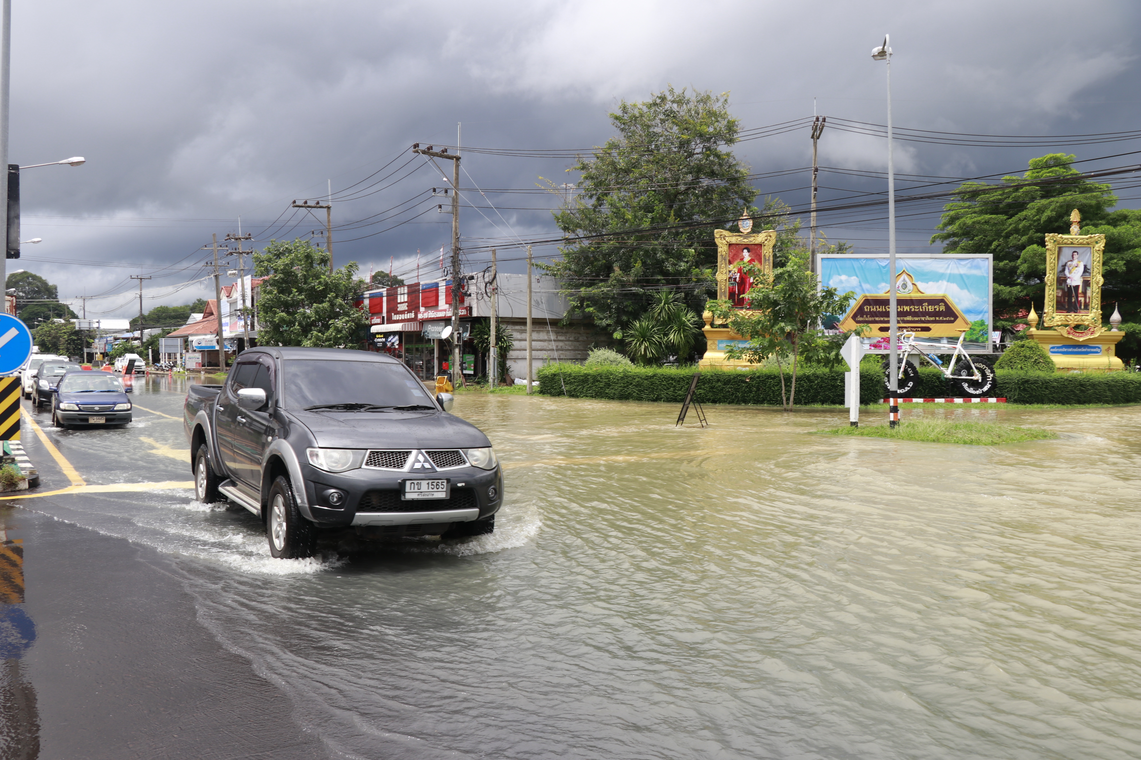
BANGKOK — Isaan and Bangkok should expect more heavy rain Monday as a new storm approaches Hainan in China.
Just after tropical storm Podul left the country on Saturday, the Thai Meteorological Department released a notice on Sunday advising that a tropical depression will hit dozens of provinces, especially in the northeastern region, Monday through Wednesday.
The depression’s impact on Thailand is not expected to be as severe as Podul, because it isn’t heading directly towards the country. Even so, the department warned of “heavy rainfalls and flash floods,” as the depression is gaining strength.
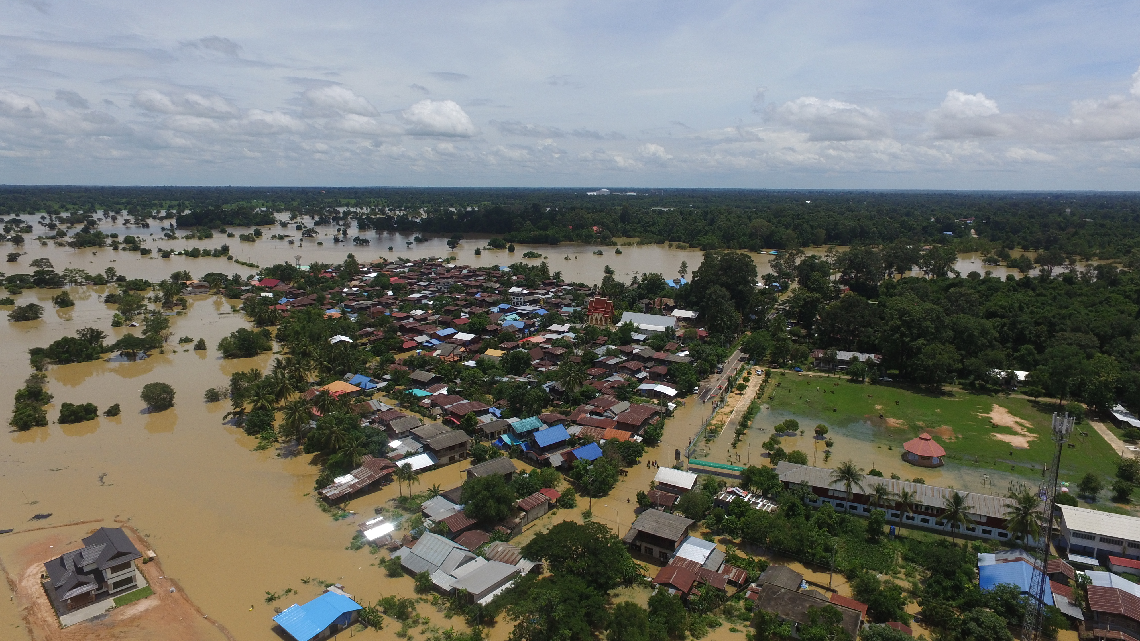
Downpours are forecast for Isaan and the North, including in Khon Kaen, Chaiyaphum, Phitsanulok, and Ubon Ratchathani – provinces which have been recently inundated with floods.
The department also warned rain could cover 70 percent of Bangkok and surrounding areas. Sailors in the Andaman Sea and upper Gulf of Thailand should be watchful as waves will be up to three meters high.
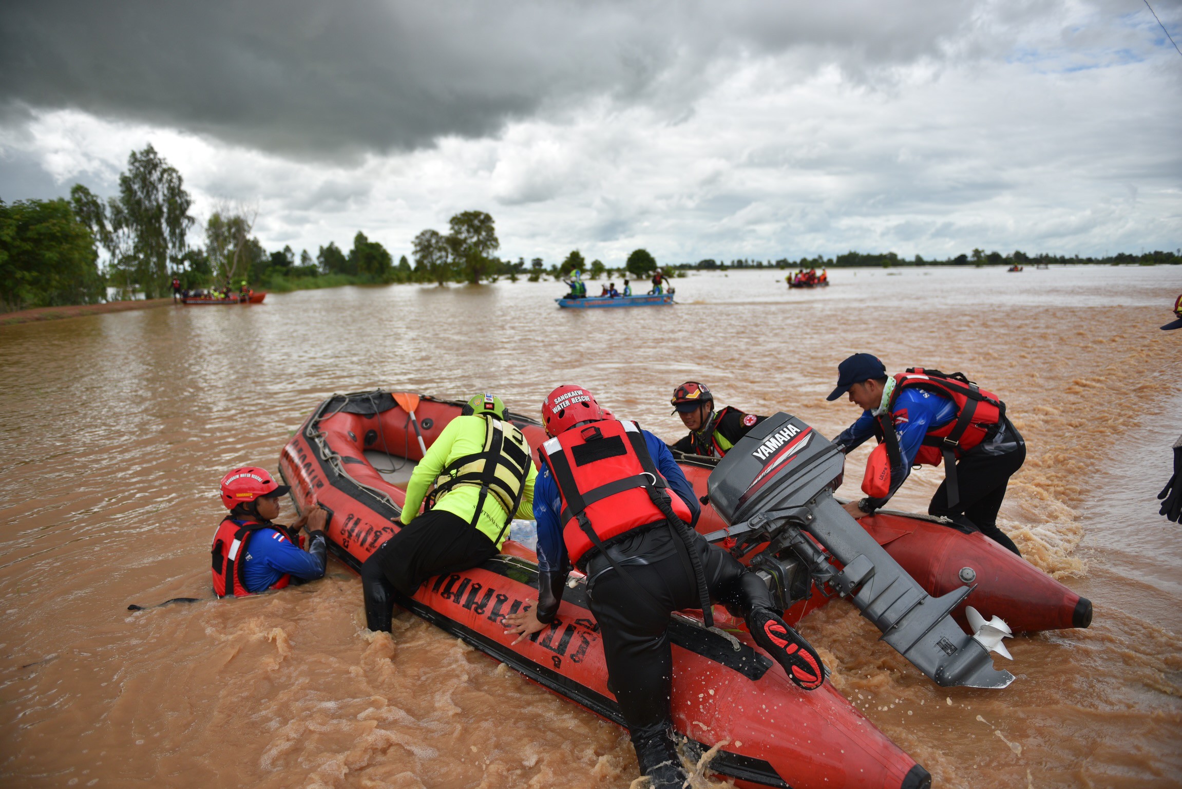
Meanwhile, disaster mitigation department chief Chaiyapol Thitisak said Monday that flooding is easing, but areas in 15 provinces are still immersed in water left by Podul. More than 3,663 households across 24 provinces are reported to have been affected by floods over the last weekend, with many evacuated to higher grounds or left stranded on roofs.
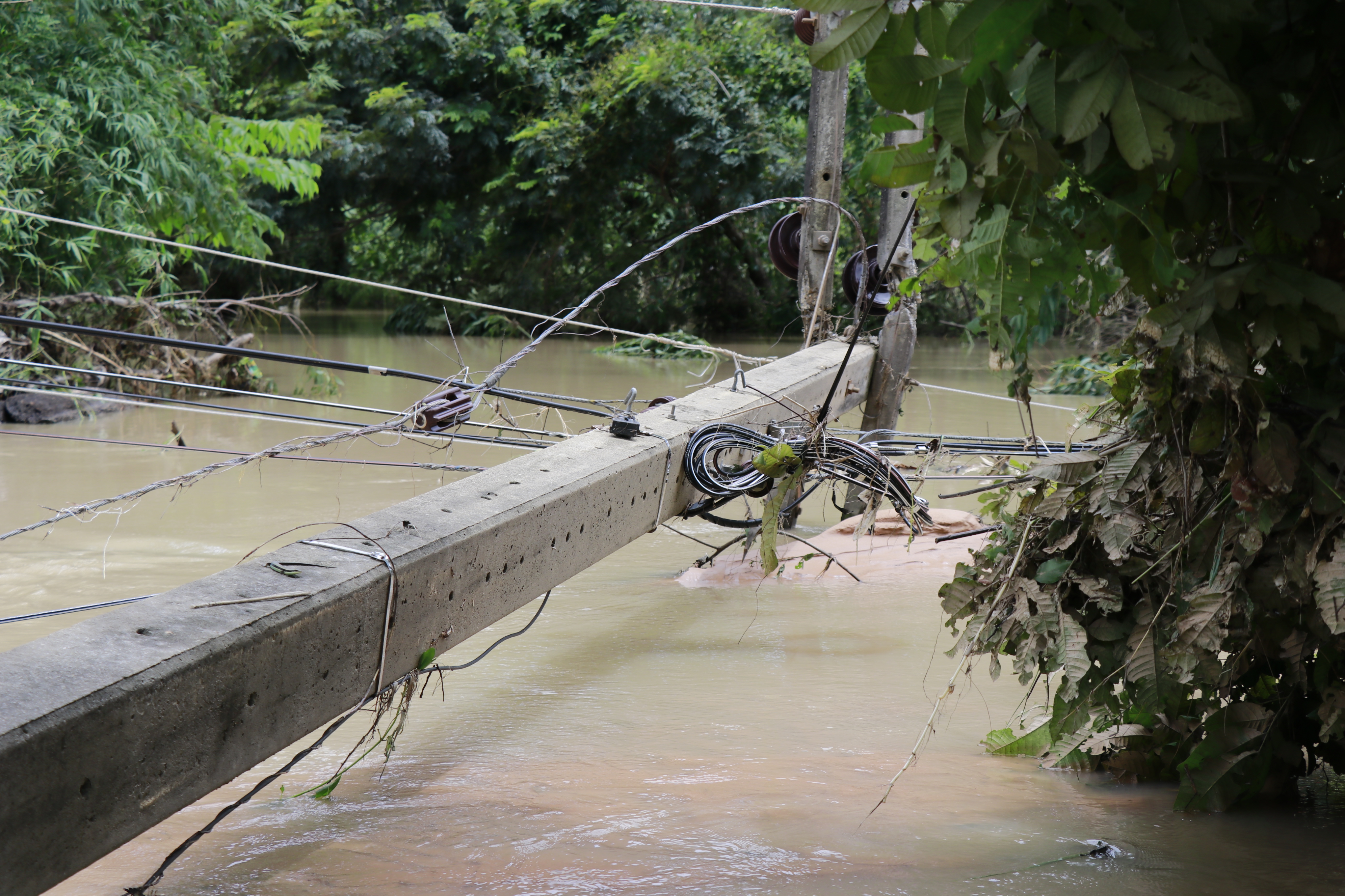
The Department of Highways also reported that five routes in Nan (No. 101), Mukdahan (No. 2034), Yasothon (No. 23 and No. 202), and Ubon Ratchathani (No. 2050) are still cut off as of Monday. Drivers are advised to be vigilant and follow signs.
The death toll and injuries from Podul remain unclear. Chaiyapol reported only one casualty in Ubon Ratchathani and one injury in Chaiyaphum, while media reports have listed at least five deaths since Saturday.
The new depression formed over the South China Sea on Sunday before barraging Hainan on Monday. Its peak winds have measured 55km per hour, which is strong enough to break twigs off trees, but less powerful than the peak winds of Podul, which measured at 74km per hour.
Although Podul has left several northeastern provinces flooded, other areas in the region such as Nakhon Ratchasima remain dried up by an ongoing drought, which has been described by locals as one of the most severe in decades.


