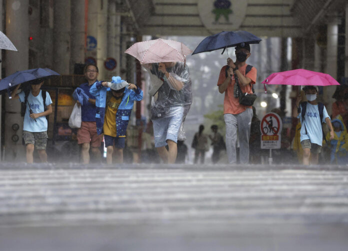
Typhoon Khanun brought heavy rain to parts of Japan’s southwestern main island of Kyushu on Wednesday as it moved slowly near the region, causing power outages and suspensions of shinkansen bullet train services.
The Japan Meteorological Agency said the slow-traveling typhoon could cause mudslides, floods and strong winds while linear rainbands, known to bring torrential downpours, could develop in southern and northern Kyushu as well as Amami-Oshima Island after the neighboring Tanegashima and Yakushima islands, off the southern tip of Kyushu, are affected.
Regions spanning western through eastern Japan on the Pacific coast are on track to receive record-breaking rainfall for August, the agency added.

Among the halted railway operations were Kyushu Shinkansen services between Kumamoto and Kagoshima-Chuo stations as well as Nishi Kyushu Shinkansen services between Takeo-Onsen and Nagasaki stations.
The Sanyo Shinkansen line will suspend the start of operations on Thursday from the first train until 8 a.m. between Hiroshima and Kokura stations for post-typhoon damage inspections.
According to Kyushu Electric Power Co., about 17,630 households in Kumamoto, Oita, Miyazaki and Kagoshima prefectures were affected by power outages as of 10 a.m. on Wednesday.
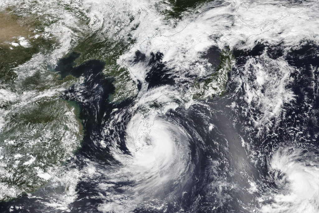
As of 2 p.m., Typhoon Khanun was located roughly 140 kilometers west of Makurazaki, with an atmospheric pressure of 975 hectopascals at its center and packing winds of up to 144 km per hour, according to the weather agency.
Rainfall of up to 300 mm is expected in northern and southern Kyushu, as well as the island of Shikoku over the 24 hours through 12 p.m. Thursday.
_______
SEOUL, South Korea (AP) — Dozens of flights and ferry services were grounded in South Korea on Wednesday ahead of a tropical storm that has dumped heavy rain on Japan’s southwestern islands for more than a week.
Khanun’s heavy rains and winds were expected to arrive in South Korea’s southern and eastern regions Wednesday afternoon, South Korea’s weather agency said. It is expected to reach the southern resort island of Jeju hours later and then make landfall near the mainland port of Tongyeong Thursday morning.
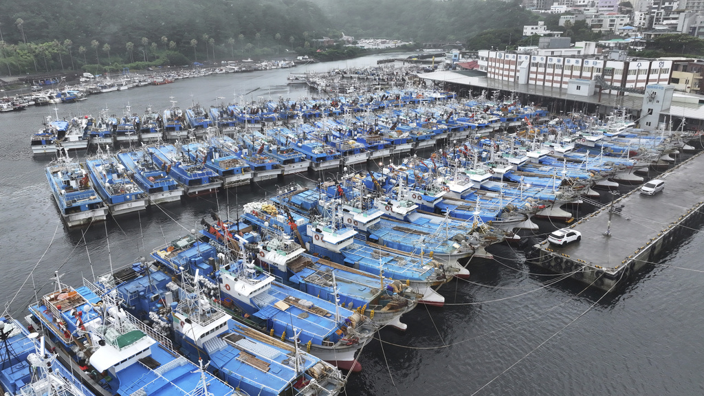
The agency says Khanun could have a punishing impact as it will likely slice through the center of the country over several hours, with the storm’s eye brushing the capital city of Seoul, while packing winds blowing at 90 to 154 kph (56 to 97 mph).
The storm is expected to dump 10 to 40 centimeters (4 to 16 inches) of rain in the country’s southern and central regions and as much as 60 centimeters (24 inches) in the country’s mountainous eastern regions through Friday. It will be weaker as it blows into North Korea early in the day.
The Korean Meteorological Administration measured Khanun at typhoon strength with maximum winds of 126 kph (78 mph) as of 2:10 p.m. Wednesday, as it passed through waters 300 kilometers (186 miles) southeast of Jeju while moving northward at a speed of 16 kph (10 mph).
Winds were growing stronger in Jeju as of 2:10 p.m., blowing at a maximum 86 kph (53 mph) near Jeju City on the island’s northern side while pouring 10 centimeters (3.9 inches) of rain near Seogwipo City on the island’s southern side. Winds were also picking up in some southern mainland areas, including the port city of Yeosu, where they were measured up to 86 kph (53 mph).
_____
Related news:
Tens of Thousands of Young Scouts To Evacuate World Jamboree in South Korea as Storm Khanun Looms


